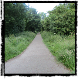
The route of the Cloud Trail can be seen on the map below. Green dots follow this route and by clicking on a green dot the viewer obtain images of that particular point on the Cloud Trail. Clicking on a purple dot provides images of the area around the dot’s position. Each section of the Cloud Trail has its route shown on a 1904 map which gives the viewer an idea of the history of the route. For similar reasons, the OS map below was published in 1954 has been used. For more information about the Cloud Trail <click here> or on the train.
Fifty Years in Five Seconds
Below are pictures of the bridge at Tonge over the Cloud Trail and the start of the Cloud Trail at Worthington in the summer of 2018. To see how it looked 50 years prior to this date, click on a chosen picture.
Fly the Route
To view a fly through of the railway line’s route from Ashby to Derby click on the silhouette of the bird.
More Cloud Trail Information
For more information about the Cloud Trail and the Derby to Ashby railway click on the above picture of the train.